- For other auxiliary Interstate Highways numbered Interstate 580, see Interstate 580 (disambiguation).
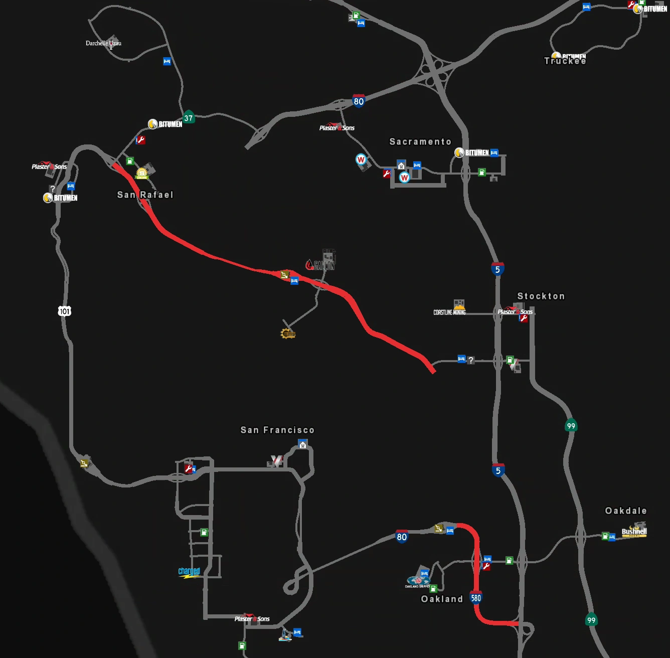
Interstate 580 is an east–west auxiliary Interstate Highway of Interstate 80 in the San Francisco Bay Area in northern California. It begins at US 101 in San Rafael and heads southeast until it ends at Interstate 5 near Stockton. A section of Interstate 580 in Oakland is shared with its parent route Interstate 80.
Cities
Facilities
- A gas station and rest area at the San Rafael Exit
- A rest area at the toll gate for the Richmond–San Rafael Bridge (eastbound only)
- A gas station and rest area at the Oakland exit
Exit List
| Location | mi | Exit | Destinations | Facilities | Notes |
|---|---|---|---|---|---|
| San Rafael | 0 | Westbound exit and eastbound entrance; west end of I-580; road continues as US 101 | |||
| Westbound exit and eastbound entrance | |||||
| 9 | |||||
| 15 | San Rafael | ||||
| San Francisco Bay | 35 | ---- | Richmond–San Rafael Bridge | Toll westbound only | |
| Richmond | 38 | Richmond – depots | |||
| 52 | 8 | ||||
| 55 | ---- | Westbound TOTSO: West end of I-80 overlap; westbound exit and eastbound entrance; I-80 east exit 13 | |||
| Berkeley | 68 | 11 | University Avenue | Turnaround only | |
| Oakland | 78 | 19 A | Eastbound TOTSO: East end of I-80 overlap; I-80 west left exit 8 | ||
| 84 | 19 B | Oakland, Stockton | |||
| 121 | ---- | Eastbound exit and westbound entrance; east end of I-580; I-5 north left exit 446 |
History
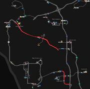
Map of Interstate 580 in the initial version of the game.
In the initial version of American Truck Simulator, Interstate 580 was split in two sections. The first section began in San Rafael as a continuation of a then terminus of US 101. It headed southeast via the Richmond–San Rafael Bridge until ending at an at-grade junction with SR 4 to Stockton.
The second section began in Oakland as a continuation of a then terminus of Interstate 80 from San Francisco. From there, it turned to the south and continued to its terminus at a trumpet interchange with Interstate 5.
In update 1.5, which changed the map scale from 1:35 to 1:20, the entire section of Interstate 580 from Oakland to SR 4 was added. The section south of Oakland was remade and lengthened, and the junction with Interstate 5 was changed to a half-trumpet interchange.
See also
| Cities | Bakersfield - Barstow - Carlsbad - El Centro - Eureka - Fresno - Hilt - Huron - Los Angeles (Santa Monica) - Modesto - Oakland (Richmond) - Oxnard - Redding - Sacramento - San Diego - San Francisco - San Jose - Santa Cruz - Santa Maria - Stockton - Truckee - Ukiah List of scenery towns in California |
|---|---|
| Highways | Interstate 5 - Interstate 8 - Interstate 10 - Interstate 15 - Interstate 40 - Interstate 80 - Interstate 580 US 6 - US 50 - US 95 - US 97 - US 101 - US 199 - US 395 SR 1 - SR 3 - SR 4 - SR 14 - SR 16 - SR 27 - SR 36 - SR 37 - SR 44 - SR 58 - SR 74 - SR 89 - SR 99 - SR 110 - SR 111 - SR 120 - SR 121 - SR 126 - SR 130 - SR 139 - SR 152 - SR 180 - SR 190 - SR 198 - SR 255 - SR 273 - SR 299 |
| See also | List of landmarks in California - List of Truck Stops in California |